“MyGIS”: A web platform 

that centralizes your data, transforming it into valuable insights by offering analysis, information and visualization through the utilization of Geographic Information System (GIS)

Are you looking for solutions that improve your decision-making process?

G-TEC’s engineers are using GIS to create informative maps, conduct analysis, share information, and tackle complex challenges across the globe. Our goal: elevate situation awareness and empower decision-making with actionable insights.

custom made

Experience the convenience of a single, user-friendly tool that enables you to :

Centralize and manage project-specific and public data

Integrate and visualize data swiftly for accurate, up-to-date information at your fingertips

Easily access analyses, comparisons, calculations, highlights and simulations from your data, facilitating informed decisions.

Share the data, information, results and calculations within a secure environment

Monitor project status based on specific constraints improving quality control

Export information in any required format

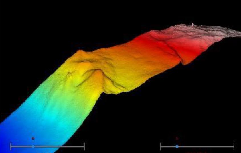
Our GIS department covers the entire GIS spectrum, from system architecture to web application delivery, supporting both offshore and inland water projects. We have developed tailored solutions  including, among others, database design, analysis tool such as volume calculation or differential analysis and interactive dashboards for real-time monitoring of works progress.

For many of our site investigations missions, GIS is used in combination with our geophysical services. The platform we are developing, in support of our geophysical projects, allows all project stakeholders to stay informed and visualize project progress, facilitating quick and informed decision-making and enhancing communication among all parties involved.

G-tec develops GIS solutions dedicated to your project, evolving throughout its entire lifecycle

“My GIS” supports project actors (owner, contractors, authorities) throughout all stages of the project. Whether utilized within an individual company or between several actors, ‘MyGIS’ can empower all stakeholders by fostering communication and collaboration on a unified platform. Are you in the preliminary phase of your project? Engaged in dredging activities? Managing an EPCI contract? Interested in optimizing site maintenance planning? “MyGIS” can help you save valuable time in engineering, analysis, QA/QC, and decision-making.

“MyGIS” for planning and design
site investigations monitoring
ground modelling
cable routing
site layout
foundation design

” MyGIS ” for construction phase
seabed preparation
dredging
cable installation
foundation installation

” MyGIS ” for O&M phase
compliance monitoring

dredging scour protection monitoring
seabed monitoring,

cable burial depth monitoring,
assets monitoring
maintenance and repair

Interested in GIS? Any question?
Ask Caroline for a demo! 

Just ask !

How do we create your web platform ?

GIS environment

GIS architecture: G-tec environment to power your MyGIS platform, or opt for our expertise in setting up and maintaining your personalized GIS environment.

Data and maps

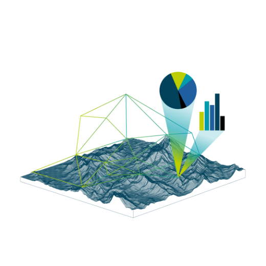
Organization, Management and Visualization: Curate huge data volumes, centralized and structured within the GIS database, encompassing diverse data types and visualized through dedicated interactive maps.

Tools and Analysis

Value creation: Let’s extract insights from the data. We develop your tools for timely, precise information retrieval.

Dashboards

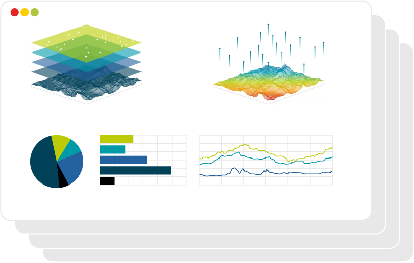
Concise overview of complex information:  real-time snapshot of key indictors and critical points, allowing you to quickly grasp the status, progress, and insights relevant to your goals or objectives.

Web app

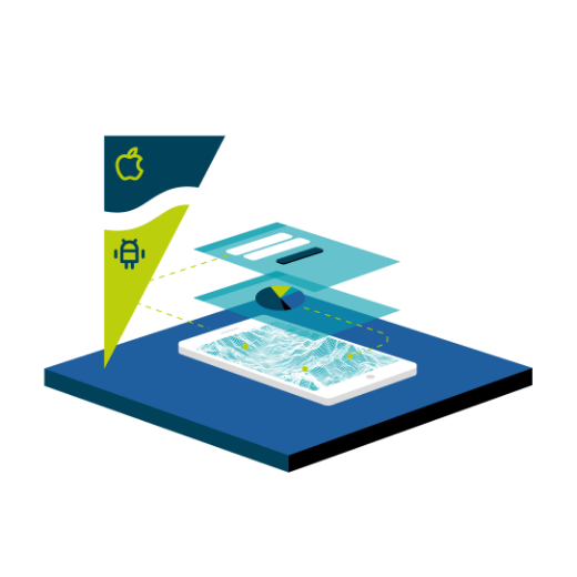
Access and Sharing: Deployment of the platform within a secure web environment. GIS apps work virtually everywhere: on your mobile phones, tablets, in web browsers, and on desktops.

Who usually use GIS services? 

G-TEC’s engineers are using GIS to make maps that communicate, perform analysis, share information and solve many complex challenges all around the world. 

Our GIS department covers the full GIS scope from the system architecture to the web application delivery to support offshore and inlands projects. It has developed specific solution (database design, analysis tool such as volume calculation, differential analysis, works progress monitoring,…).

For many of our missions, GIS is used in combination with our geophysical services.

References that speak for themselves

Take a look at our other case studies GIS projetcs

GIS PROJECTS

Belgium

  |  

2022

G-tec has executed in 2022 a Geophysical investigation and UXO detection survey over a future offshore wind concession zone in Belgium. The pre-installation surveys aimed the acquisition of precise bathymetric data, high-resolution side scan sonar data, ultra-high resolution seismic profiles and magnetometer data. Dedicated magnetometer data was acquired for UXO detection over the geotechnical investigation locations for the preparation of ALARP certificates.

Our Survey Team handled with exceptional efficiency the massive amount of data (over 3,000 kilometres of survey lines) that was acquired, processed, and interpreted in over 160km2.

GIS PROJECTS

Scotland

  |  

2022

G-Tec has performed a Multi-million Geophysical Investigation and UXO detection survey in 2022 over one of Scotland’s future Offshore Windfarms. The survey was executed at turbine locations simultaneously with the installation of foundations and at the inter-array cable routes. In total, over more than 1350km of survey lines were acquired and processed with the following methodologies:

– Bathymetry survey with multibeam echosounder

– Side Scan Sonar

– Sub-bottom profiler

– UXO detection with a Multi-frame Gradiometer.

GIS PROJECTS

Ireland

  |  

2021

G-tec has carried out a geophysical campaign along the export cable routes of an Offshore Wind Farm in the Irish Sea in 2021. The survey included a bathymetric survey with multibeam echosounder, Side Scan Sonar and Magnetometry. G-tec has acquired more than 2,000 km of survey lines and 70 grab samples over the export cable routes and was responsible for the nearshore acquisition (<10m LAT), where a Nearshore 12-hour vessel was deployed and Offshore acquisition (>10m LAT) where an Offshore 24-hour survey vessel was used.

Case studies page